

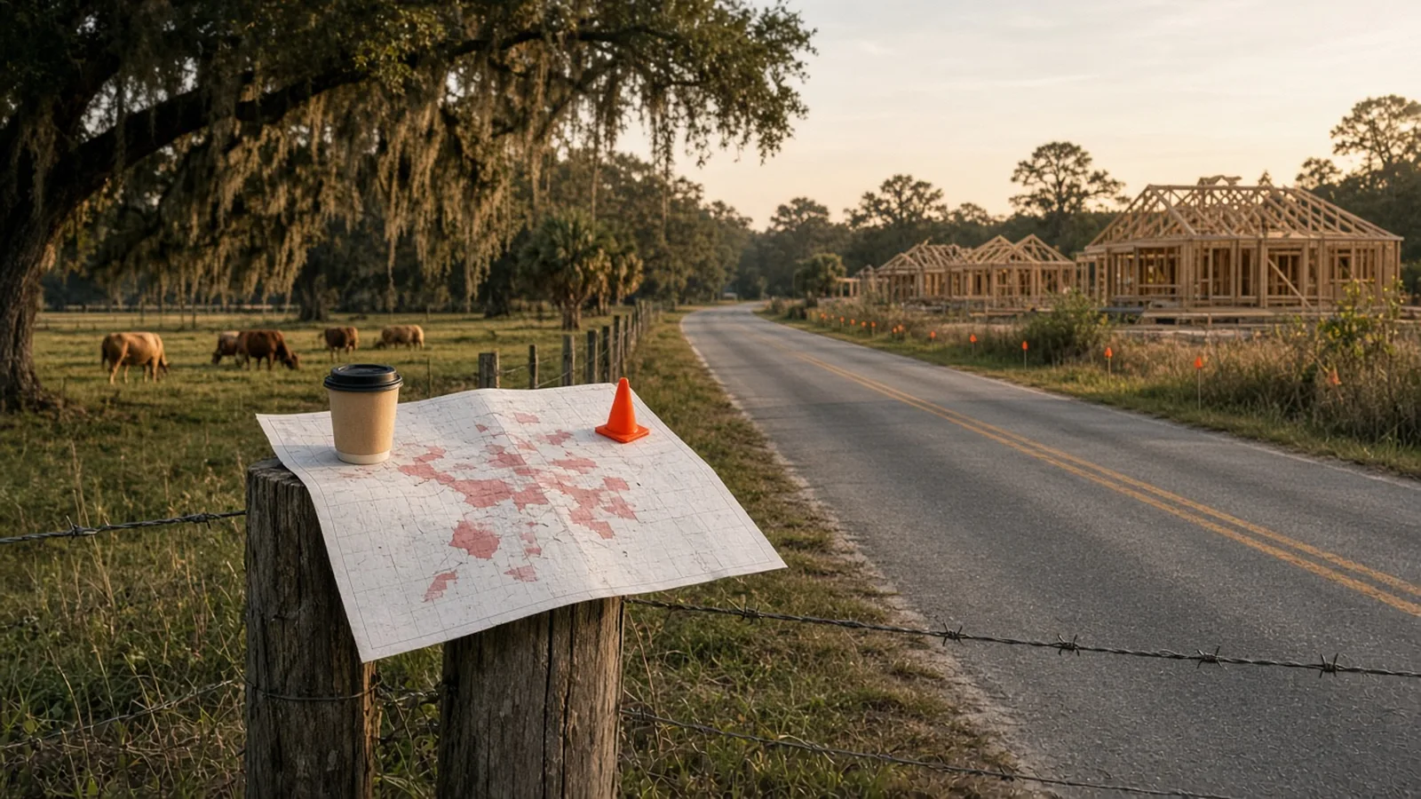
The Manatee County Map That Made a Room Gasp Is Public. Here's How to Use It.
A Parrish TikTok has half of East County zooming in on red parcels. We found the actual county maps, the 3,158-home plan off Fort Hamer Road, and the Lorraine Road date to circle.
Some people unwind on a Saturday with a paddleboard. Some of us unwind by zooming into a county GIS map at 11 p.m. and saying "oh, that's the cow field" out loud to nobody.
Joey Lamielle (@joeylamielle) made the second hobby look a lot more useful. In about a minute he walks through two public Manatee County maps, puts them side by side, and asks the question everybody in Parrish and Lakewood Ranch is already asking in the Publix parking lot: is the county planning for growth or chasing it? It's clear, calm and easy to follow, which is more than most of us manage when we talk about traffic.
Open the map
- Manatee County: Development Projects Viewer (turn on the Development Projects layer) · Capital Project Dashboard
- City of Sarasota: Development Application Map (active development applications, kept by the city's Development Services Department)
- Sarasota County: Projects In My Neighborhood (county capital projects) · Development petition search (rezonings and site plans by record number or address)
@joeylamielle Manatee County's development map has people talking! Two public maps reveal what's coming. Would you check your neighborhood?
Joey did the hard part. Here are the exact maps, so you can go look at your own street.
Map one: the red one
It's the county's Development Projects Viewer, run by the Planning, Development and Zoning Division. The county describes it as "an interactive map view of all development projects along with any upcoming Public Hearings scheduled." It's open 24/7 and the eligibility line says "Everyone," which is the friendliest thing a government web page has ever said to me.
Open the map directly here. Turn on the Development Projects layer, and parcels with a project in the county's system light up. Click one and you get the project name, the case number, its status (things like "Sufficiency Review" or "Public Hearing Approved"), a plain-English description of what's proposed and any hearing dates. The layer behind it held 2,387 project records when we checked on Oct. 23, 2026, and it pulls straight from the county's permitting system, so it's live data, not a poster someone printed in 2019.
Map two: the roads, pipes and parks one
That's the Capital Project Dashboard (the dashboard itself lives here). It maps the county's Capital Improvement Program: the road widenings, water and sewer lines, stormwater work, parks and buildings, each with a fiscal year, a funding source, planned start and end dates and, for many, a project sheet PDF. The county's own comprehensive plan (Objective 10.1.6) requires this program to line up with the Future Land Use Map, so the two maps are meant to be read together. Joey just actually did it.
The two pins from the video
Moccasin Wallow Road, Parrish. The big one on the red map near there is the Villages of Amazon South rezone and plan amendment, case PDMU-18-06(Z)(G)(R2), better known on the ground as part of North River Ranch off Fort Hamer Road and U.S. 301. The county record describes 3,158 residential units on about 1,068 acres, plus 220,000 square feet of retail, 50,000 square feet of office, medical office space, a 150-bed hospital and 326 assisted living beds. Its status on the map when we checked: "Sufficiency Review Version 3," with Planning Commission and county commission land use dates listed in 2026. Click the parcel yourself and you'll see the whole description.
Lorraine Road. On the dashboard, the widening of Lorraine Road from State Road 64 to 59th Avenue East is about 2.76 miles of new four-lane road with a median, a bridge, bike lanes, sidewalks and street lights. It's listed in the "Design 60-90%" phase with a planned end date of Dec. 31, 2031. So if you were planning to wait it out, maybe get comfortable. Bring snacks.
Over the county line: Sarasota's versions
Sarasota has the same kind of tools, just split up a little differently.
City of Sarasota. The city's Development Review page links a "map of development applications under review," and that's the Development Application Map. It shows active development applications inside city limits, and the data is kept by the city's Development Services Department. Zoom to your block, click a project and you'll see what's proposed. The city's Development Review Committee meets the first and third Wednesday of each month, so new applications don't sit still for long.
Sarasota County. For unincorporated Sarasota County (Palmer Ranch, Fruitville, Siesta Key and so on), we couldn't find a single red map that works like Manatee's. The closest official pair:
- Projects In My Neighborhood, the county's map tour of its major capital improvement projects. It's Sarasota County's take on the "roads, pipes and parks" map.
- The county's Accela Citizen Portal. Under Community Development, choose Search Applications to look up rezonings, special exceptions and site plans. The county's PDS Documents and Petitions page lists current petitions by name and record number (things like "RZ 26-13 | University and Shade ER"). Copy a record number, paste it into the portal, and the plans are under Record Info, then Attachments.
It takes one more click than Manatee's version. You'll live.
Check your own street in two minutes
- Open the Development Projects map and type your address in the search box.
- Turn on the Development Projects layer and click anything red nearby. Write down the case number.
- Open the Capital Project Dashboard and look at the same spot. Roads, water and sewer projects near you show up as points with dates.
- Want to weigh in? The project popup links to county agendas, and the county's Citizens Action Center takes questions at 941-742-5800.
That's it. You are now the most informed person at the cookout, which is a power you should use gently.
Big thanks to Joey for making county GIS layers go viral. Go give him a follow; he makes Manatee County growth easy to understand without anybody yelling.
Planning the weekend? Brooke has the tides and the trails, Sandy has the meetups, and the Halloween Finder has everything with a costume contest.
— Sandy
More from the crew

Can't pick? Pull a random one From the food, wine and myth-busting pile. No old game slates.